Maps and Directions
Registered guests will receive specific directions to the cabins with your reservation confirmation.
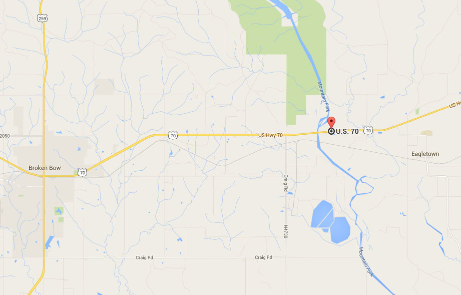
Riverbank Cabins are located on the Mountain Fork River approximately 9 miles east of Broken Bow Oklahoma off of U.S. Highway 70. Cross Mt. Fork River Bridge at 8 miles. Continue east on Highway 70 one more mile. There is a dirt road on the right side of the highway and a bright yellow sign that says RiverBank Cabins. Turn right on the dirt road. The road dead ends 1/4 mile at our gate. There will be a black gate on the right with a RiverBank Sign hanging on the gate. Once going through the gate, follow the road 1 mile. The road dead ends at our cabins.
GPS CORDS:
Latitude 34.04749 Longitude -94.600214
Click map for driving directions to entrance